
Headland Geospatial turns complex spatial data into tools people can actually use to make decisions. We partner with communities, organizations, and governments on projects ranging from remote sensing and advanced geospatial analysis to the design and implementation of data management systems.
We are committed to creating products that are clear, practical, and genuinely useful.
Our strength lies in combining social science insight with deep technical expertise - ensuring that data remains grounded in people, place, and long-term outcomes.
Welcome to Headland.
Where geospatial data meets real-world use.
Clear data. Better decisions.
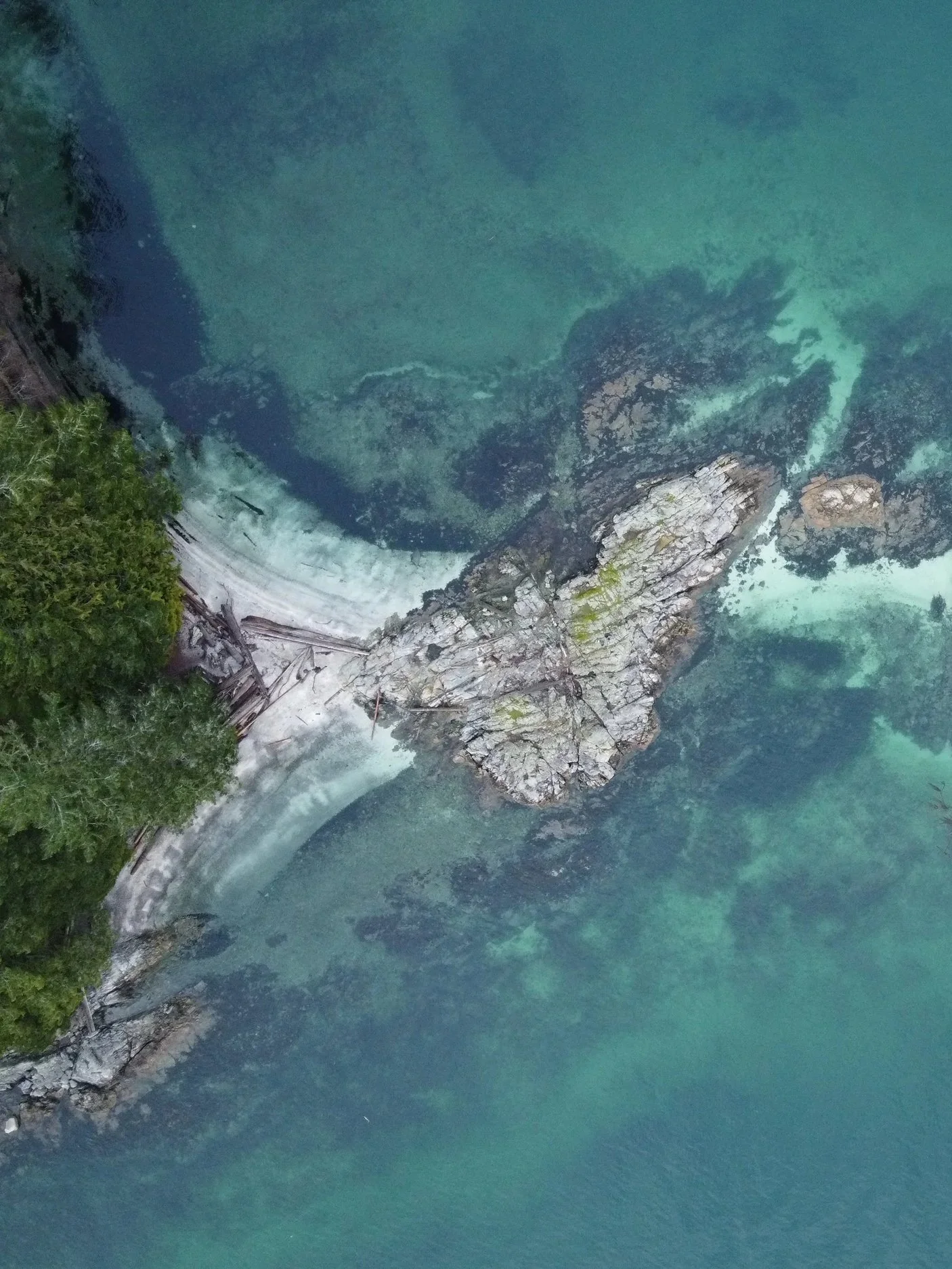
Headlands are the places where land meets water, exposed places where life flourishes.

Our Services:
Mapping + GIS
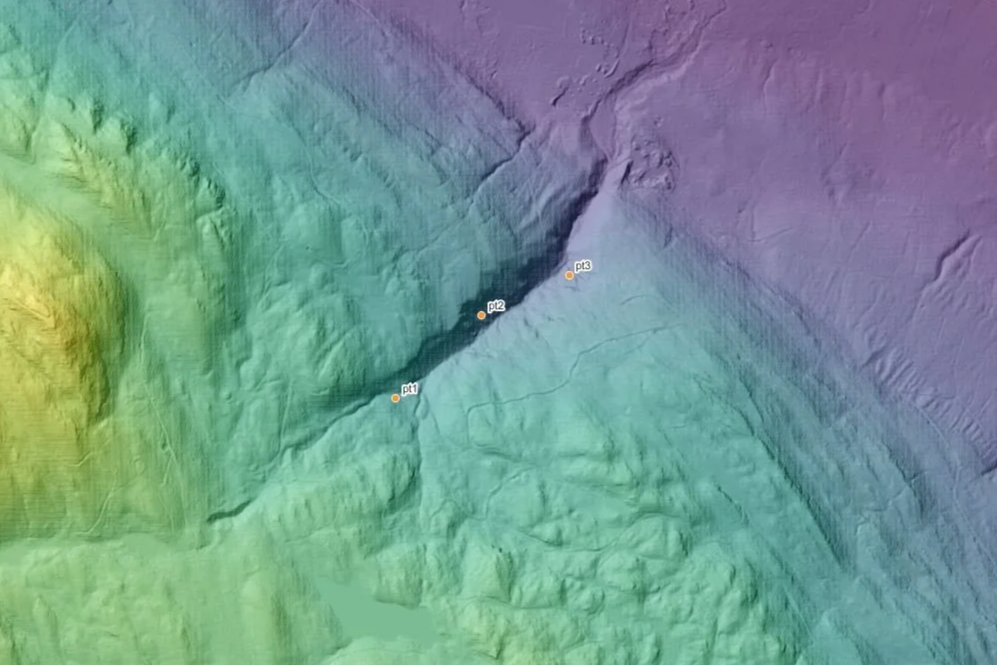
High-resolution base mapping (orthophotos, LiDAR-derived DEMs, hillshades)
Thematic and planning maps (habitat quality, disturbance, access, restoration priority)
Time-series and change mapping (pre/post disturbance, vegetation recovery)
Interactive web mapping (ArcGIS Online, Mapbox, Leaflet, deck.gl, and more)
Print-ready cartography for reports, engagement, and legal use
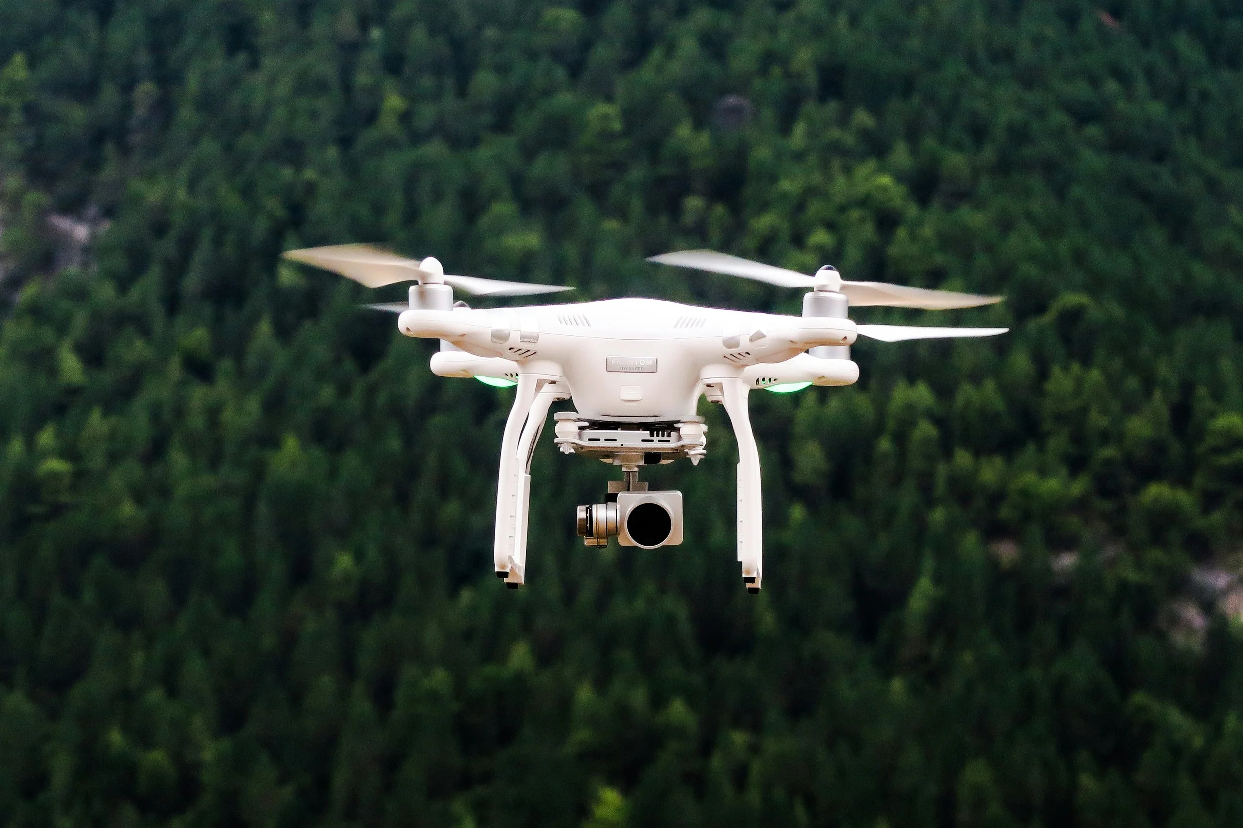
Remote Sensing
& Analysis
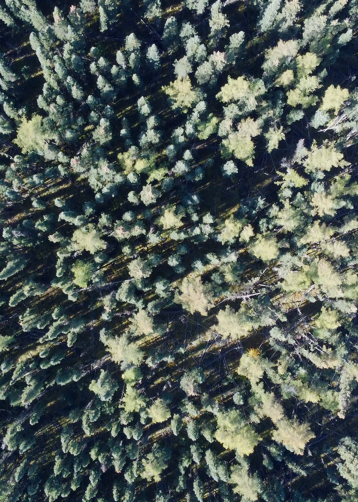
Drone-based orthomosaics and surface models
Vegetation indices (NDVI, moisture stress, and related metrics)
Canopy height models and biomass estimation
Wetland delineation
Land cover and land use classification
Change detection analysis (erosion, sedimentation, encroachment)
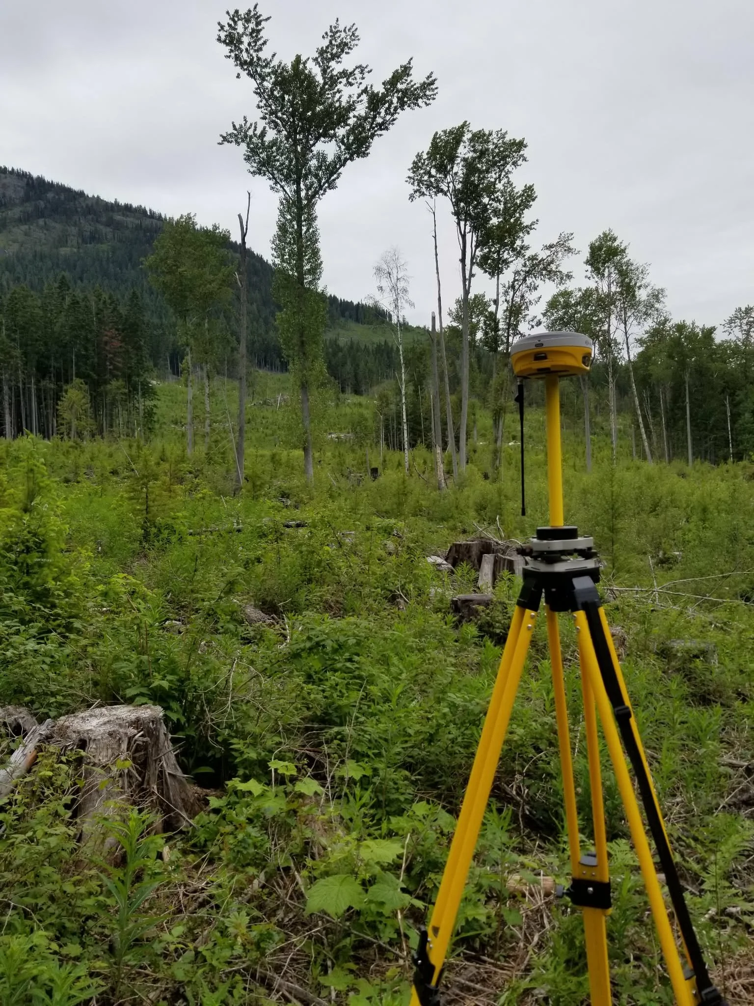
Data Collection & Management
Custom field data collection tools (Survey123, QField, Kobo, Avenza)
Database design, development, and hosting for collected data

Our Approach
At Headland, we are committed to delivering high-quality, accurate, and practical products. Whether we’re developing maps, data collection tools, or remote sensing outputs, we bring a high level of precision, care, and accountability to every project. We specialize in answering complex questions through thoughtful research and rigorous analysis.
While the final product is critical, we place equal value on the process. We invest in strong, collaborative relationships and work responsively, adapting to the evolving needs of your project as they emerge.
We take the time to understand your vision and the broader context, ensuring that every piece of work contributes meaningfully to the bigger picture.